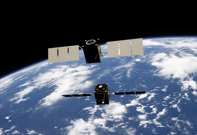
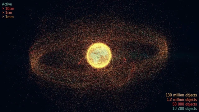
Earth’s orbital environment is steadily evolving into a high-risk zone. Of particular concern is the geostationary orbit (GEO), where the world's most expensive and strategically critical communication and surveillance satellites are concentrated. Recent research has revealed the presence of small, previously undetected fragments that effectively create a "minefield" at an altitude of 36,000 kilometers. In the absence of atmospheric drag to clear these orbits, this debris poses a permanent threat to our global digital infrastructure.
Geostationary orbit occupies a unique strategic vantage point in modern astronautics. At an altitude of approximately 36,000 kilometers, objects on this trajectory rotate in synchronicity with the planet, remaining fixed relative to a specific point on the equator. For decades, this characteristic has served as the bedrock for global telecommunications, meteorological monitoring, and the provision of seamless internet connectivity to remote regions. However, this critical zone is no longer secure.
The crisis stems from the proliferation of small-scale space debris—fragments measuring only about five centimeters in diameter. For a long time, such objects remained effectively "invisible" to monitoring systems due to their low reflectivity and the vast distances involved. This paradigm shifted with the implementation of advanced data processing algorithms used to analyze archives from the 2.54-meter Isaac Newton Telescope.
The pivotal tool in this breakthrough was a technique known as "blind summing." Unlike traditional scanning, this approach involves testing a multitude of potential trajectories for hidden targets across a sequence of images. By overlaying these frames and filtering out noise, researchers were able to isolate faint signals from objects previously dismissed as background interference. This effort yielded 25 new debris tracks, 80% of which belong to previously unknown objects.
The physics governing debris behavior at such altitudes presents a particular danger. In Low Earth Orbit (LEO), a residual atmosphere creates drag, leading to the gradual deceleration of fragments and their eventual incineration in the denser layers of the atmosphere—a natural orbital cleansing mechanism. At 36,000 kilometers, however, the atmosphere is virtually non-existent. Consequently, any fragment generated remains in orbit indefinitely, transforming the region into a cumulative reservoir of technogenic waste.
The risks to infrastructure are critical due to the colossal kinetic energy involved in collisions. Satellites in geostationary orbit are typically far more massive and costly than their LEO counterparts; they are designed for decades of operation and equipped with expansive solar arrays that can exceed 30 meters in width. With relative velocities reaching several kilometers per second, even a tiny metallic shard is transformed into a high-velocity projectile capable of crippling or completely destroying an expensive spacecraft.
In the current climate, launching new missions without detailed cartography of the debris field constitutes an unjustifiable risk. Future research will focus on integrating data from telescopes worldwide to create a comprehensive pollution map of geosynchronous orbit and develop robust defense mechanisms for critical space assets.
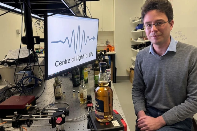 Optical Technologies for Combating Counterfeiting