The development of fully autonomous microsystems has long been stalled by a fundamental tension: the sheer complexity of navigation algorithms versus the stringent power constraints of the hardware. Conventional mapping techniques demand immense computational overhead, rendering them impractical for miniature drones or lightweight AR wearables. A breakthrough from MIT engineers reimagines the core principles of spatial representation, swapping cumbersome data structures for elegant mathematical models. The Gleanmer chip demonstrates that full-scale 3D vision can operate on a power budget equivalent to that of a single LED.
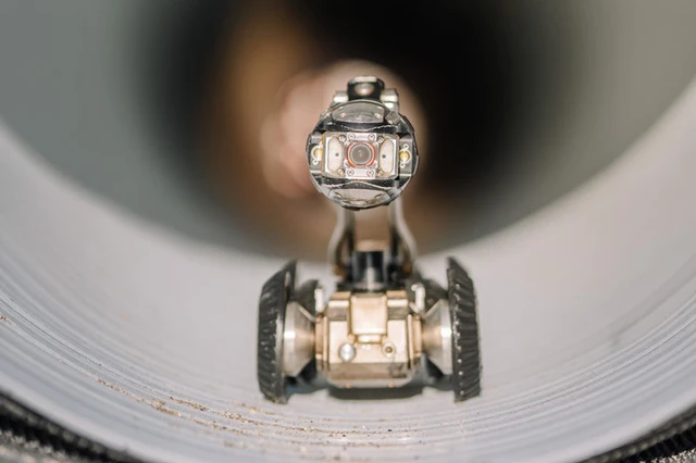
The challenge of autonomous navigation in confined environments has always been a balancing act between mapping precision and the energy overhead required to maintain it. For micro-robotic systems exploring narrow ventilation shafts or industrial pipelines, GPS is a non-starter, and relying on external positioning systems in such conditions is impractical. The only viable path forward is the advancement of SLAM (Simultaneous Localization and Mapping) systems, which enable a device to concurrently construct a map of its surroundings and determine its own position within it. However, traditional mapping approaches have proven far too power-hungry for devices equipped with minuscule batteries.
Gleanmer’s pivotal breakthrough lies in a radical departure from voxel-based spatial representation. In traditional systems, the world is discretized into voxels—three-dimensional analogs of pixels that form a rigid grid of cubes. This approach introduces significant redundancy: describing a simple flat wall requires storing thousands of identical cubes, leading to exorbitant memory and computational costs. Furthermore, voxels produce a "stair-stepping" effect, which fails to accurately represent the smooth, curvilinear surfaces found in the physical world.
To solve this, the developers implemented the GMMap algorithm, which operates using 3D Gaussians. In this model, space is defined not by cubes, but by a collection of ellipsoidal "clouds" with specified mean values. A single elongated ellipsoid can replace dozens or even hundreds of voxels, describing an object's surface with far greater precision and compactness. This allows the robot to efficiently distinguish between free zones, obstacles, and unexplored areas while maintaining a minimal memory footprint.
The chip's technological edge is derived from a deep synergy between the algorithm and its hardware implementation. Gleanmer utilizes stream-based image processing, completely eschewing the need to store full frames in memory. Data passes through the computational unit once, with the system analyzing pixels primarily in relation to their neighbors—a logical approach, as adjacent points typically belong to the same object. To eliminate redundancy, overlapping Gaussians are merged in real-time, bypassing the need to re-access the original pixel data.
From a technical standpoint, the chip—fabricated using a 16nm CMOS process—demonstrates impressive performance. Processing scenes at a resolution of 640 × 480 pixels, it constructs maps at a rate exceeding 88 frames per second. Meanwhile, the coordinate retrieval speed for map queries ranges from 540,000 to 1.32 million requests per second. Thanks to the optimization of Gaussian-based computations, power consumption for map construction has dropped by 63%, and query processing energy has plummeted by 81%.
Ultimately, Gleanmer consumes only 6 mW of power, representing just 20% of the energy draw of contemporary analogs with comparable functionality. Such a low threshold makes the technology promising not only for micro-robotics but also for the consumer wearables market. Lightweight AR and VR glasses require constant analysis of room geometry to correctly overlay digital objects, yet they cannot accommodate bulky processors or heavy batteries.
The future evolution of this architecture points toward an even tighter integration of memory and computation. Currently, data is stored in dedicated memory in close proximity to the processing blocks, which already minimizes transmission losses. The next step will be the migration of computational power directly into the image sensors. The creation of "intelligent eyes," where navigation data is processed directly within the camera matrix, will virtually eliminate the energy overhead of data transfer interfaces, ushering in an era of truly autonomous and invisible intelligent systems.
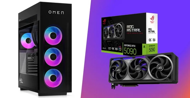 The Economic Paradox of the GeForce RTX 5090